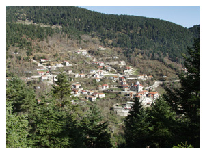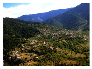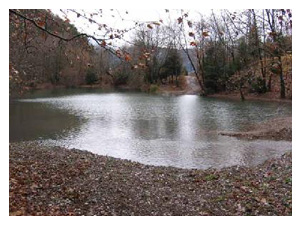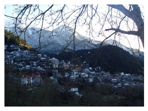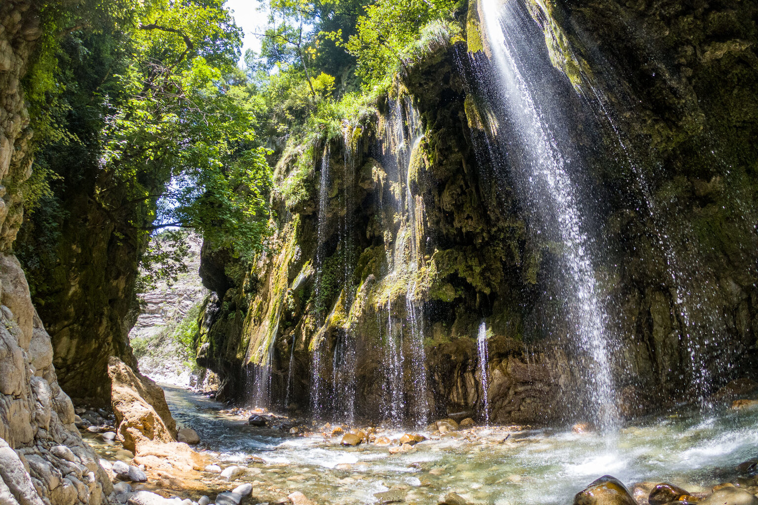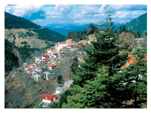
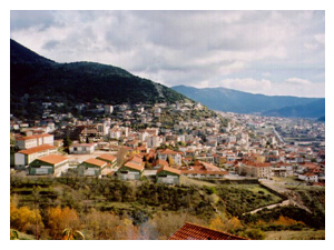
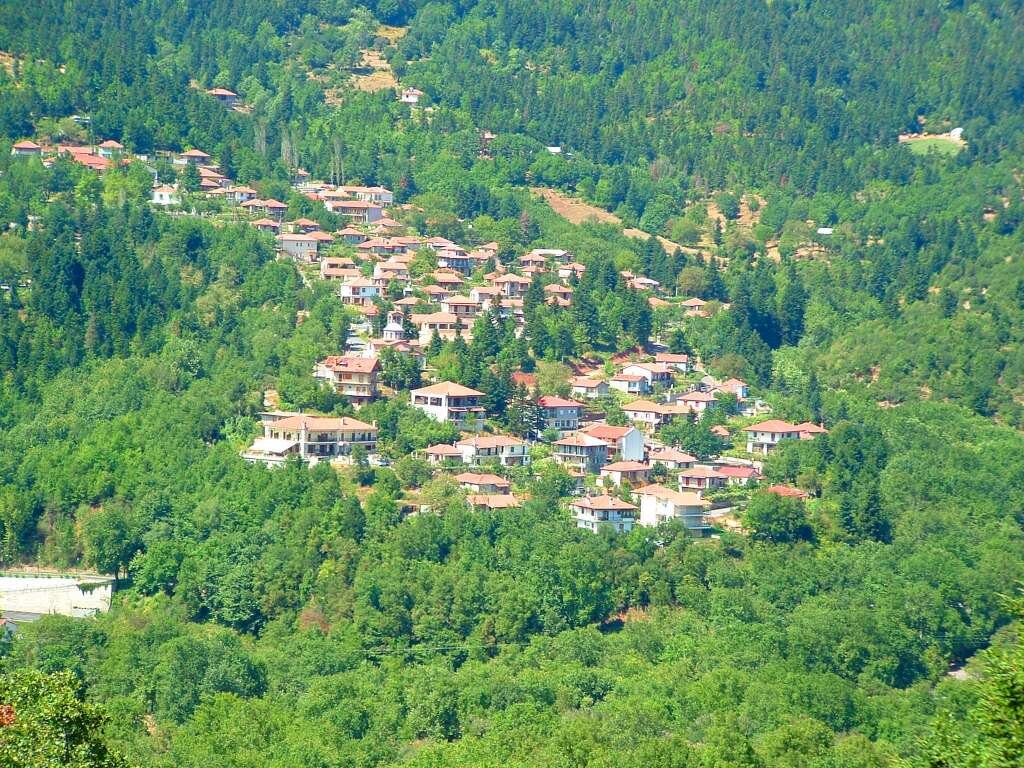
Mountain landscape of Evrytania around Voutyro

Attractions

A four-season magnet.

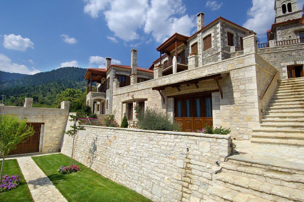
Emotions Country Resort attracts visitors all around the year since it is an ideal choice to escape from your daily stress.

In winter you can enjoy the charming scenery of a snow-covered mountain and the relaxing warm atmosphere just like your home. In spring you can watch the nature reviving again and enjoy the beautiful landscape. In summer the freshness of the mountain will amaze you, while in autumn you will find pleasure in the calmness of the landscape, the mild climate and in the short and long walk paths in the woods or to the near villages.

The prefecture of Evrytania is a magical place and one of the most beautiful regions of Greece. Greener as any other place whether it's summer or winter, full of verdant valleys, canyons, natural falls and impressive caves. A place full of tradition, hospitable locals, with many significant tourist attractions and important historical background.

Returning from your excursion, don't miss to taste the fresh-cooked local specialties such as vegetable pie and coq au vin, sausages, "katiki" cheese, trout, spare ribs, as well as many other treats helping you to reboot your lost energy.

Not to miss

Eight attractions worth the drive

Karpenisi town

Karpenisi town

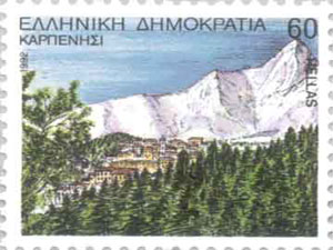
Karpenisi, the capital of Evrytania, with approximately 10,000 permanent residents, is the starting point of our itinerary to the southern part of the prefecture. Karpenisi is 287 km away from Athens, 370 km from Thessaloniki and only 12 km away from the base of the two mountains of Kaliakouda and Chelidona, standing supreme in the south of Evrytania. The capital of Evrytania is built over a wide flat region at the foot of Tymfristos at an altitude of 960 m.
Kefalovriso & the Botsaris monument

Kefalovriso & the Botsaris monument

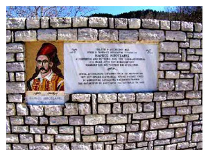
On this wonderful way to the villages of Potamia, a short stop at Kefalovriso, located 2 km outside Karpenisi, would be ideal for every visitor to the prefecture of Evrytania. Kefalovriso is situated at a beautiful spot with plane trees and is in direct line of sight to the Karpenisiotis river, rising in Tymfristos (Velouchi) further north. At the historical area of Kefalovriso — where the hero Markos Botsaris fell in the battle between the Greeks and the Turks in 1823 — you can buy river trout or have it prepared for you at the local restaurant.

Koryschades & the 1944 National Council

Koryschades & the 1944 National Council

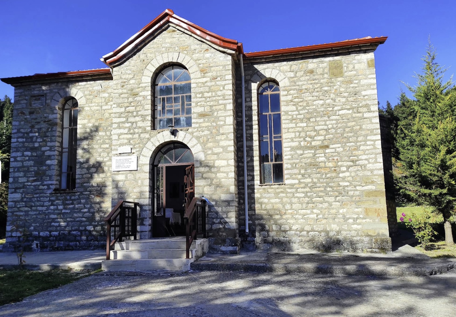
Korischades (altitude 940 m.) is situated at a location in a fir-tree forest not visible from the main road, although only 2 km away from the road. It is one of the best-preserved traditional villages in the whole of Evrytania, justly declared a protected settlement, with beautiful stone mansions (many of them two-storey) and the imposing church of Agios Athanasios (built in 1865) at the large central square. Just to the right of the square and the church stands the stone schoolhouse where the historic May 1944 assembly of the National Council of the Free Government — formed after the establishment of PEEA — took place; today the building has been converted into the Museum of National Resistance.

Get directions in Google Maps — Koryschades & the 1944 National CouncilGet directions in Apple Maps — Koryschades & the 1944 National Council
Voutyro & Nostimo

Voutyro & Nostimo

Voutyro (or Voutirou) is 7 km away from the centre of Karpenisi. Just like Korischades, Voutyro is surrounded by slopes of a dense green fir-tree forest. The village sits at an altitude of 810 m and has beautiful stone-built houses; the women's cooperative of Voutyro produces plenty of traditional delicacies. Nostimo (altitude 830 m.) is the next village on the right side of the Karpenisiotis on the way to Prousos — only 12 km from Karpenisi, with a few but very beautiful houses, an old watermill and a small stone-built arched bridge.

Agios Leonidis at Klafsi

Agios Leonidis at Klafsi

After the junction to Nostimo (on the main road) we encounter on our left side the clear waters of the Karpenisiotis river, and just 300 metres further on we reach the paleo-Christian church of Agios Leonidis (5th century AD!) — a very important monument of this region. The church belongs to the village of Klavsi, whose houses begin to show a few metres higher above. The church is closed to the public, but anyone interested in seeing the impressive mosaic floor inside can ask for Father Spiridon at the square of Klavsi, who is the key-keeper of the church.

Mikro Chorio — Paleo & Neo

Mikro Chorio — Paleo & Neo

Turning right and just 500 m. ahead we arrive at Neo Mikro Chorio (New Small Village), a newly established settlement (after 1963), when due to rockslides the residents of Paleo Mikro Chorio (Old Small Village) built their houses here. Neo Mikro Chorio is built on a slope full of fir-trees at 700 m. over the sea surface and its permanent residents are approximately 150. Paleo Mikro Chorio (altitude 800 m.) gains back, little by little, the life it used to have before the big rockslide in January 1963; at the beautiful square of the village the five-tap fountain and the church of Metamorfosi tou Sotiros offer perhaps the most wonderful view in the area.

Megalo Chorio

Megalo Chorio

Megalo Chorio is located at the opposite slope right across Paleo Mikro Chorio and Neo Mikro Chorio, and is the seat of the municipality of Potamia. It is built on the slope of Kaliakouda Mountain at an altitude of 720 metres. You enter the village 2 km. after the junction of the main road Karpenisi–Prousos on your left. Megalo Chorio has beautiful houses and picturesque stone-paved alleys; the white chapel of Agios Athanasios (built in 1924) welcomes you at the entrance together with a marble monument of Panagiota Stathopoulou (17 years old), a member of EPON, who lost her life to a German battle tank in Athens in 1943.

Get directions in Google Maps — Megalo ChorioGet directions in Apple Maps — Megalo Chorio
Mt Kaliakouda & the Lakkomata trail

Mt Kaliakouda & the Lakkomata trail

From the road to Megalo Chorio, and in particular before the entrance to it, there is an accessible dirt road going upwards. This is where a gorgeous route in the woods begins, leading either to Aniada village or to Psiana village and to the famous canyon of "Panta Vrechei". The route goes through the dense fir-tree forest of Kaliakouda mountain, reaches almost the forest limit, and rewards the visitor with a breathtaking view. Further on we reach the small church of Kimisi tis Theotokou and the monument of the historic Battle of Kaliakouda that took place on August 28th, 1823, at the location called Lakkomata (1,500 m); the mountain's highest peak rises to 2,101 m.

Gavros & the Dipotama confluence

Gavros & the Dipotama confluence

From the junction to Mikro Chorio to the right and to Megalo Chorio to the left, after 1 km. we arrive at Gavros. It is a village situated in a very beautiful spot right next to the Karpenisiotis river. It is an ideal place to rest and have a tasteful meal at the village's taverns or visit the folk art shops. Along the river there is a trout farm, beneath the highest peak of Kaliakouda mountain (2,101 m). Three and a half kilometres after the "Patimata tis Panagias" we reach a location called "Dipotama": at this spot the Krikellopotamos joins the Karpenisiotis and continues northwestwardly under the name Trikeriotis to flow into the artificial Lake Kremasta.

Holy Monastery of Prousos

Holy Monastery of Prousos

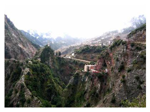
The holy Monastery of Panagia of Prousos is 29 km. away from Karpenisi. The monastery is built beneath the asphalt road level, at the edge of a small canyon-shaped formation, in a location with a unique and rough geographic relief. What attracts us the most is the clock on the hill across the Monastery, along with the impressive house of the School of Greek Language built next to it in 1819. The miraculous icon of the Virgin is kept where it was originally found, with only the addition of the silver cover donated by Georgios Karaiskakis in 1824; the Monastery attracts religious tourism, with around 200,000 visitors a year.

Get directions in Google Maps — Holy Monastery of ProusosGet directions in Apple Maps — Holy Monastery of Prousos
Holy Monastery of Tatarna

Holy Monastery of Tatarna

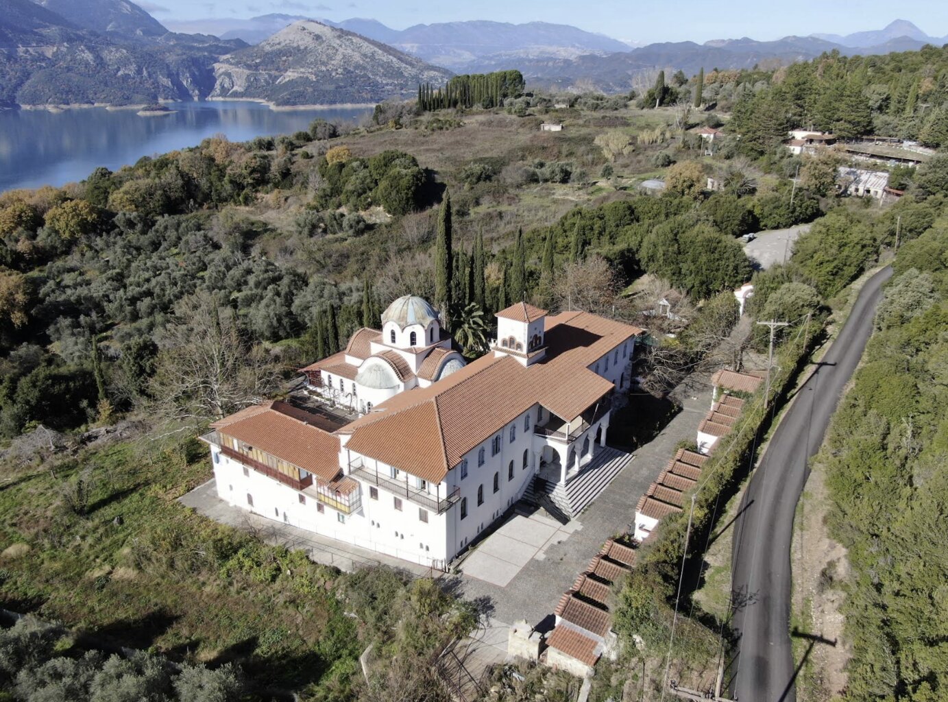
A 16th-century monastery clinging to the rocks above the Tavropos river — restored after the Kremasta dam was built.

Get directions in Google Maps — Holy Monastery of TatarnaGet directions in Apple Maps — Holy Monastery of Tatarna
Chani — Sella — Fidakia & the Kremasta lake

Chani — Sella — Fidakia & the Kremasta lake

An alternative wonderful asphalt-paved route through thousands of square metres of fir-tree forest leads to Fidakia village. The route begins at Karpenisi, in direction to the west, towards Potamia and Prousos. At Bagasaki there is a junction leading to Stefani (2.5 km.), Milia (11 km.) and Sella (14 km.), where the beautiful stone-paved square at 1,050 m. offers a unique view. Sella village is situated above the artificial Lake of Kremasta, constructed in 1963 concentrating waters from two rivers: Tavropos (Megdova) and Agrafiotis.

Krikello & the Battle of the Gauls (279 BC)

Krikello & the Battle of the Gauls (279 BC)

Krikello. An amazing location. On our way to the village we pass by "Neraidovouni", a marvellous place. We also pass by "Kokkalia" where it is mentioned that a battle against the Gauls took place in 279 BC. It is 30 km away from Karpenisi.

Palaia Viniani — the 1944 Mountain Government

Palaia Viniani — the 1944 Mountain Government

Old Viniani, a historical village of Evrytania. The first "Mountain Government", established here in spring 1944, decided to hold elections in the entire Greek state. The National Council, resulting from these elections, held its meeting at the School of Korischades. Other attractions are the old, but abandoned stone-built houses and the single-arch bridge. It is 31 km away from Karpenisi.

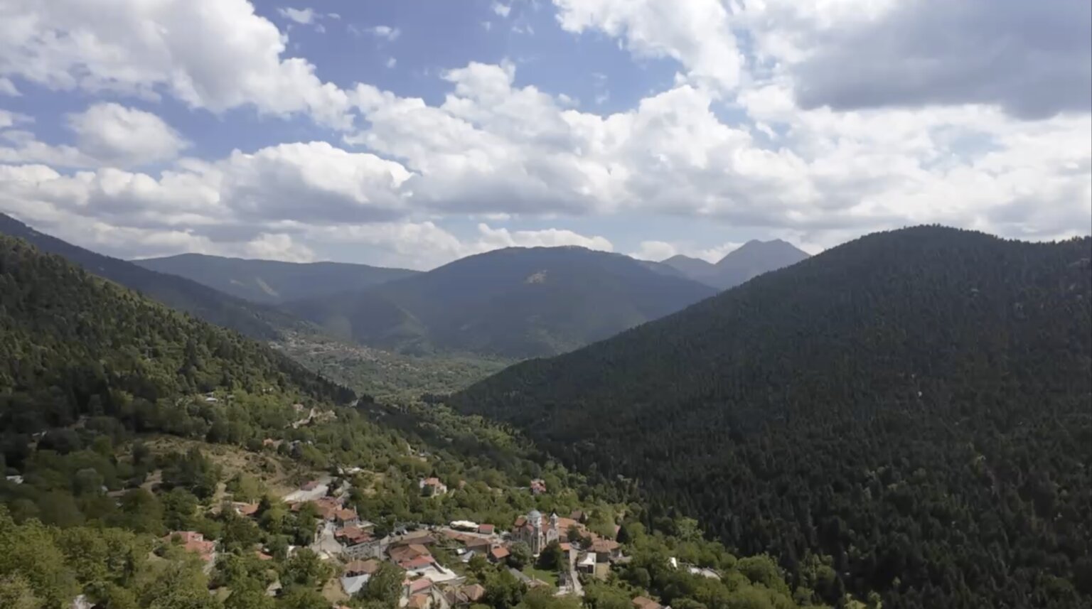
Karpenisiotis valley

Karpenisiotis valley

The long, green valley that begins in Karpenisi and winds south past Voutyro — a panorama of snow-capped peaks, fir forests and small stone villages.

Moni Koumasia

Moni Koumasia

Stone monastery on the forest road between Voutyro and Koryschades, founded in 1661 as a dependency of Prousos and dedicated to the Nativity of the Theotokos. Destroyed by Ottoman forces in 1821 and again by German troops in August 1944, then rebuilt in 1950 with donations from Evrytanian emigrants in the United States.

Get directions in Google Maps — Moni KoumasiaGet directions in Apple Maps — Moni Koumasia
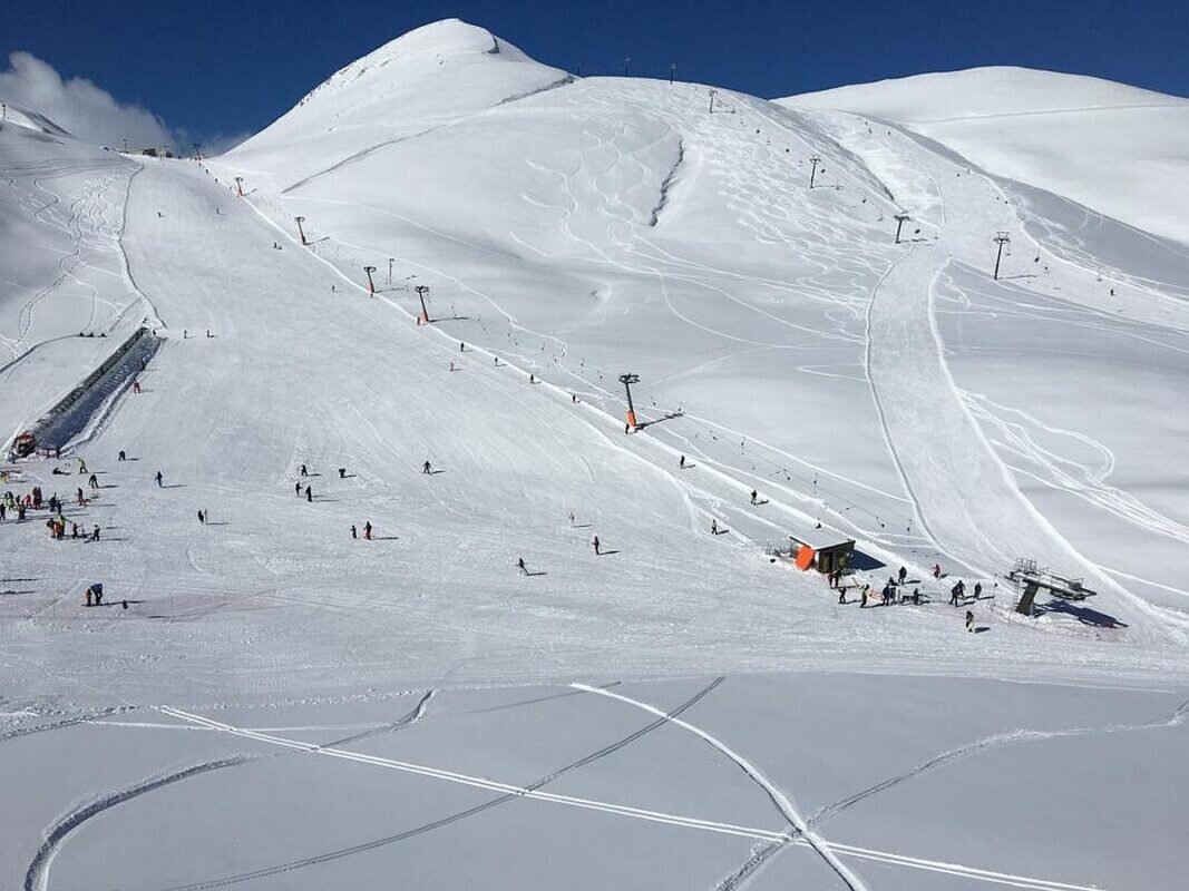
Karpenisi Ski Centre

Karpenisi Ski Centre

At Velouchi, 20 km from Voutyro. Slopes for every level, ski schools and a chalet with a view to the top of Roumeli.

Get directions in Google Maps — Karpenisi Ski CentreGet directions in Apple Maps — Karpenisi Ski Centre

Reserve your stay

Come and stay with us

Direct booking guarantees the best rate.

Book Now